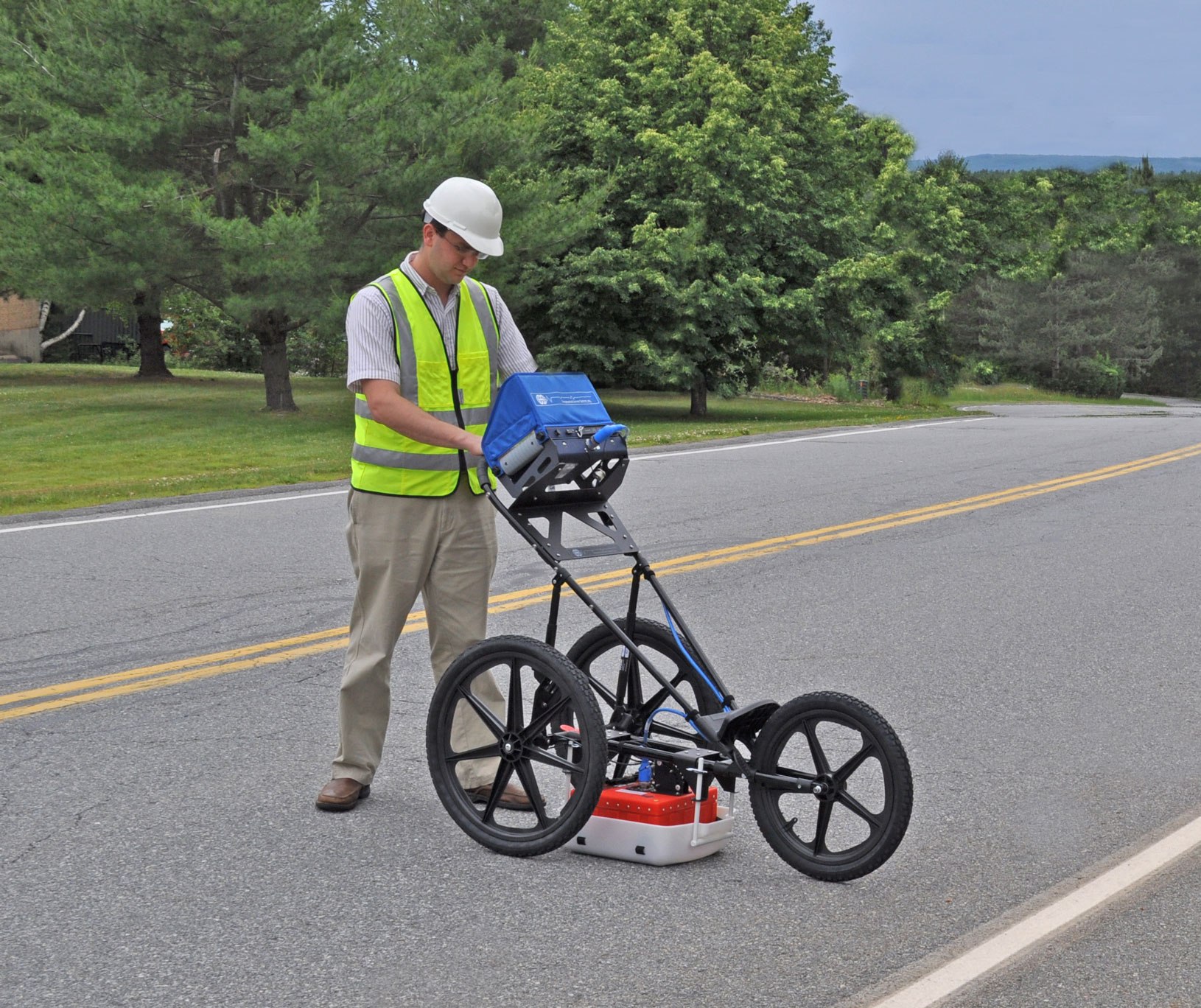
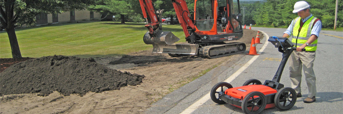
Underground Radar
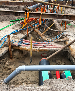
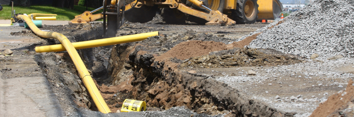
An underground radar is used in utility mapping to detect anything that could be damaged during excavation. This prevents workers from drilling or digging into utilities, which can cause disruption and danger to nearby residents.
How It Works
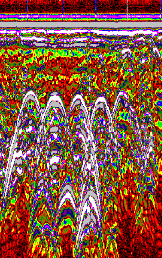
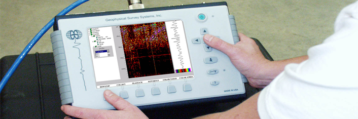
An underground radar uses radar pulses to picture what is beneath the surface of the ground. It can be used on rock, ice, fresh water, soil, pavements and structures. Underground radars can also detect changes in material and cracks.
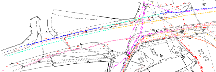
The radar unit has two antennas, one that sends out pulses of sound and one that receives pulses when they bounce off objects underground. These pulses can then be used to put together an image of what is underground. This allows us to draw a map on the surface of the ground to reflect what lies beneath. Site workers can then work out the best way to safely carry out the excavation.
Accurate Underground Radar Surveys
At Charter Oaks, we use the latest technology when it comes to underground radars to ensure that we get the most accurate readings and results. We have years of experience in this field and are confident in our ability to provide the best service for you.
Contact Us
If you have any questions call today on: 01226 755976 to find out more.